

Antiquariat Norbert Haas, Comitatus Hollandiae (Leo Belgicus), Nicolaes Visscher 1648

Antique mapsNew arrivals

HOLSTEIN:

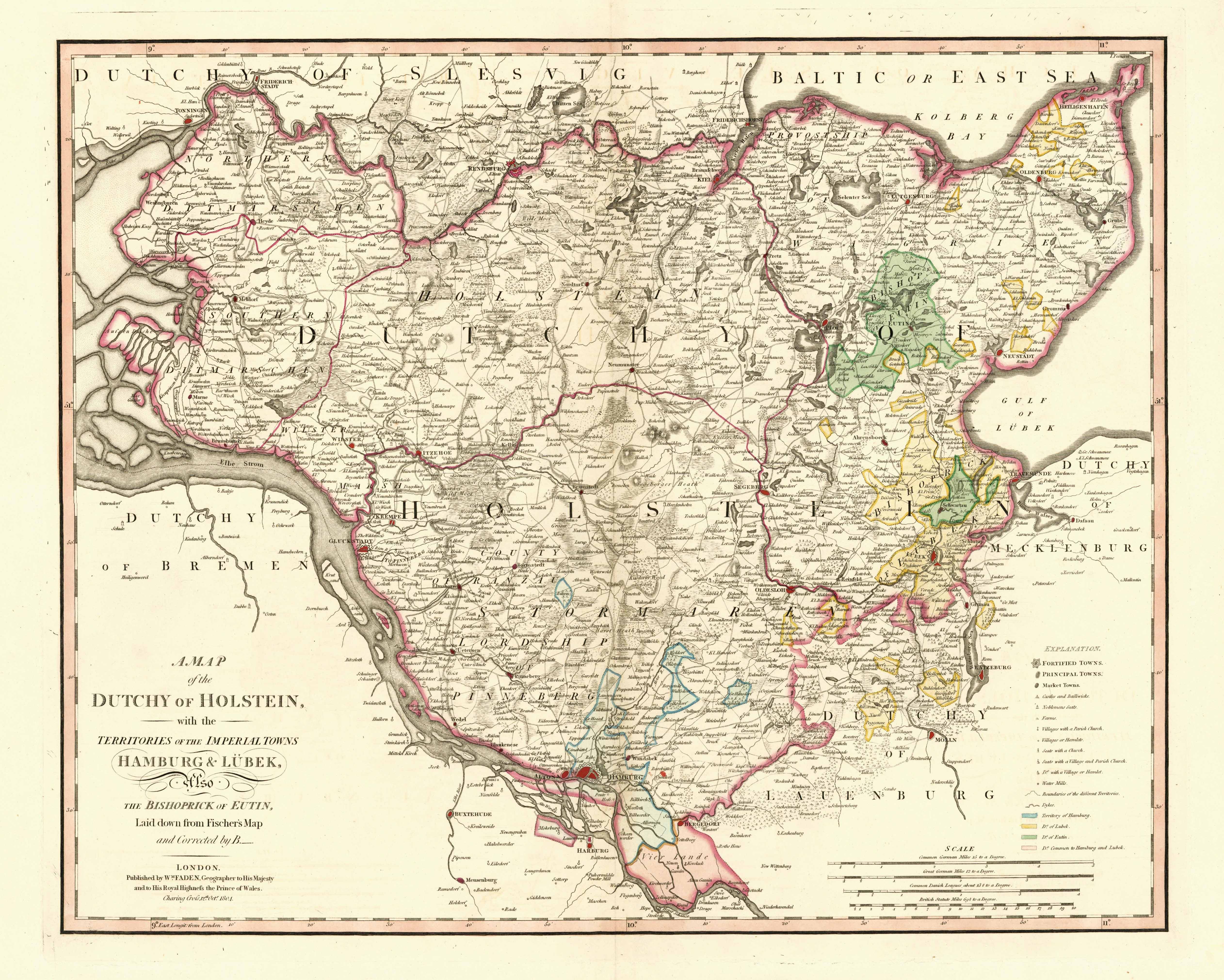
A Map of the Dutchy of Holstein, with the Territories Of The Imperial Towns Hamburg & Lübek, Also The Bishoprick of Eutin, Laid down from Fischer's Map and Corrected By B. - London Published by Wm. Faden, Geographer to His Majesty and to His Royal Highness the Prince of Wales. Charing Cross. 12th Octr. 1804

Altkolorierter Kupferstich b. William Faden in London, dat. 1804, 47 x 58 cm

British Map Engravers - L. Worms and A. Baynton-Williams, page 221 ff. - Zeigt das Herzogtum Holstein mit Hamburg, dem Lübecker Gebiet und das Bistum Eutin sowie den Elbelauf von Geesthacht bis Otterndorf. - Unten links Kartentitel. - Unten rechts Erklärungen und Maßstab.