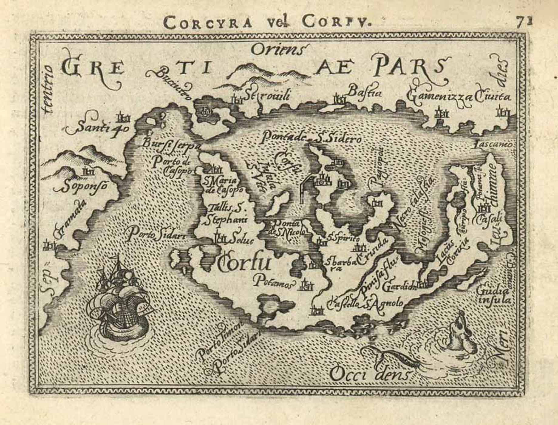
Kupferstich v. Philippe (Filips) Galle n. Abraham Ortelius aus Epitome Theatri Orteliani, Praecipuarum Orbis Regionum delineationes, … b. Philippe Galle für Christoph Plantin in Antwerpen, 1589, 8,5 x 10,5 cm
van der Krogt, Koeman‚s Atlantes Neerlandici, Vol. III A, S. 306 ff., 332:11, Nr. 71; Zacharakis, A Catalogue of printed Maps of Greece 1477-1800 (2. edition 1992), S. 123, Nr. 1627 u. Abb. S. 355, Pl. 349. - Zeigt die ionische Adria-Insel Korfu mit der albanischen bzw. griechischen Küste. - In der Insel Kartentitel (‘Corfu‚); oben mittig über der Karte weiterer Kartentitel (‘Corcyra vel Corfu.'); um die Insel Segelschiff und Meeresungeheuer.