Klicken Sie, um das Original in voller Größe zu sehen.
ATLANTIK (Atlantischer Ozean / Atlantic Ocean):
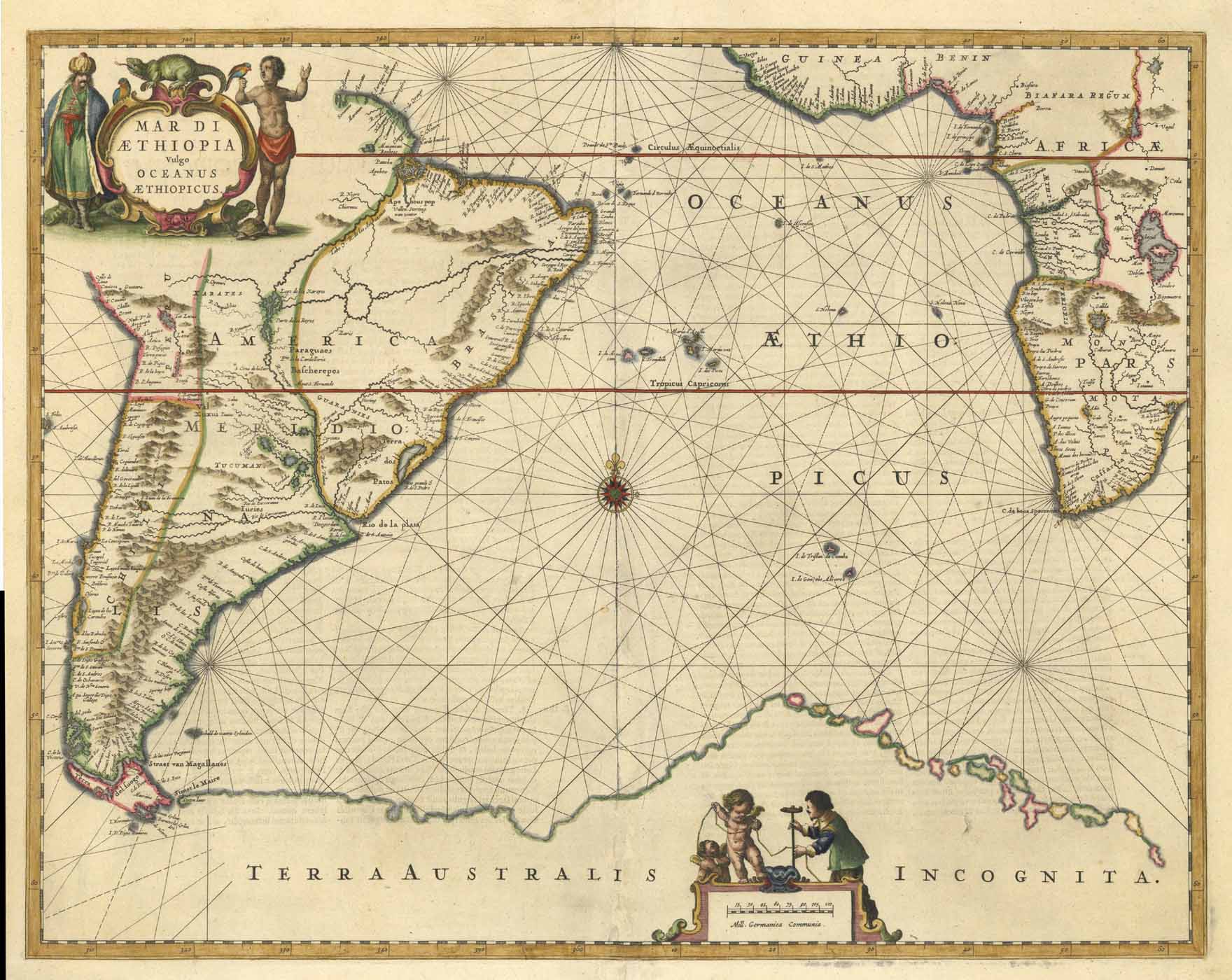
Mar Di Aethiopia Vulgo Oceanus Aethiopicus.
kolorierter Kupferstich b. Johannes Janssonius (Jansson) in Amsterdam, 1650, 43,5 x 55 cm


Klicken Sie, um das Original in voller Größe zu sehen.
Mar Di Aethiopia Vulgo Oceanus Aethiopicus.
kolorierter Kupferstich b. Johannes Janssonius (Jansson) in Amsterdam, 1650, 43,5 x 55 cm