Beschreibung
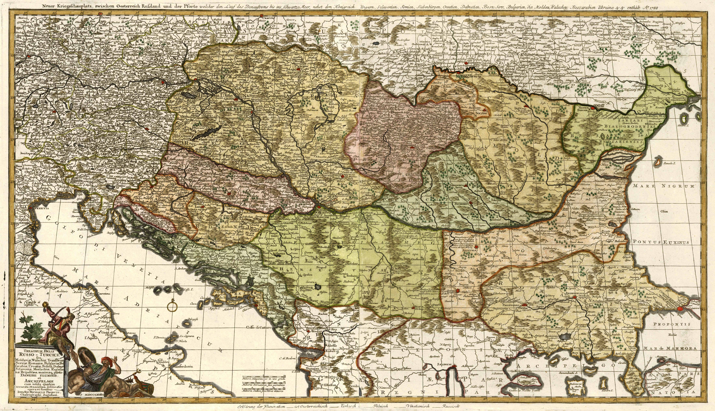
Szántai, Atlas Hungaricus 1528-1850, Vol. II, S. 472, Probst 1b; Tooley’s Dic. of Mapm. Rev. Ed. K – P, S. 463 (Johann Michael Probst, the younger, 1757-1809. Engraver and publisher. Son of Johann Michael Probst the elder <1727-1776>. Together with his brothers he took over the firm after the death of his father. Under the name Johann Michael Probst they updated Seutter’s maps and engraved more than 100 new maps. These were sold singly and some as atlases such as „Atlas Novus Compendiarius“. The firm ceased operation in 1809 when Johann Michael and Johann Georg both died. …). – Zeigt Ungarn mit den angrenzenden Ländern sowie den Donaulauf von der Quelle bis zur Mündung. – Unten links Titelkartusche. – Über der Karte zusätzlicher Titel „Neuer Kriegsschauplatz, zwischen Oesterreich Russland und der Pforte welcher den Lauf des Donaustroms bis ins Schwartze Meer, nebst dem Königreich Ungarn, Sclavonien, Sirmien, Siebenbürgen, Croatien, Dalmatien, Bosn. Serv., Bulgarien, die Moldau, Walachey, Bessarbien Ukraine & & enthält A° 1788“. – Seltener Augsburger Einblattdruck.


