Beschreibung
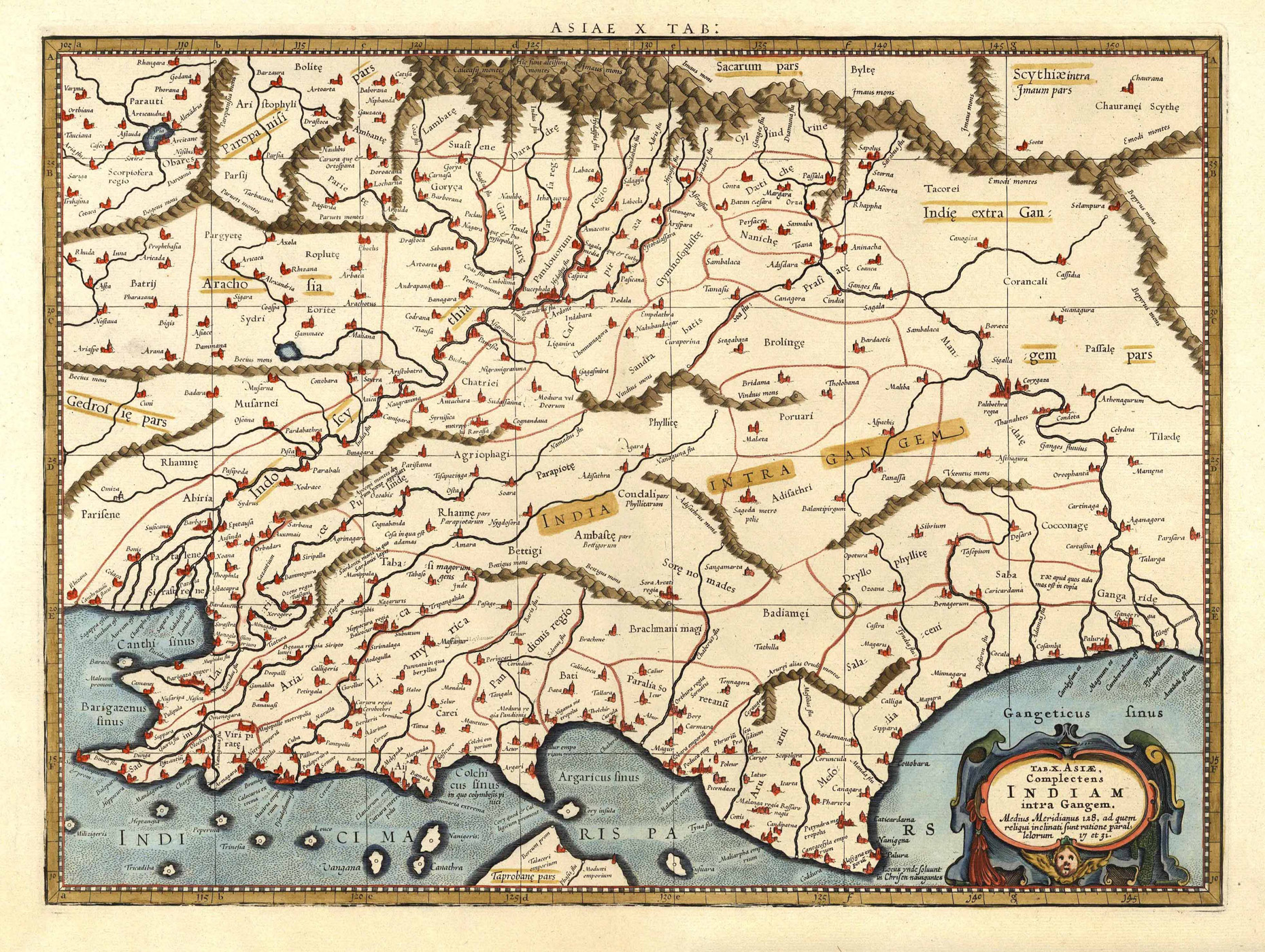
van der Krogt, Koeman’s Atlantes Neerlandici, Vol. II, S. 491, 1:521, 16. – Zeigt Indien und Bangladesch nach Ptolemäus. – Unten rechts Titelkartusche. -This map presents the Ptolemaic view of India. – The Himalayan Mountains stretch across the top of the map and the Indus and Ganges river systems are well delineated. However, the subcontinent is considerably shortened and lacks nearly the entire southern part of India. – The northern tip of Taprobana (Sri Lanka) appears at bottom.


