Description
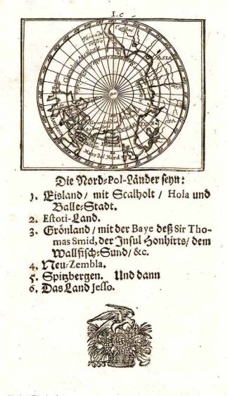
Burden, The Mapping of North America II, 688, state 2; Tooley’s Dic. of Mapm. Rev. Ed. A – D, S. 30 (P. Andrea. Publisher of J.U. Müller’s “Neu-außgefertigter Kleiner Atlas …”, Frankfurt am Main 1702.). – Zeigt den Nordpol. – Unter der Karte 10 zeiliger deutscher beschreibender Text.The map shows the north polar region. – Burden: “In the process the double bay of hudson bay is exaggerated more, and a small river on the Labrador coast is omitted.” – Rare map.